42nd Alpine Rally 2011 Photos |
|
|
Alpine Motorcycle Rally Site History
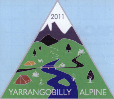
2011 Alpine RallyThe 42nd Alpine Rally was held at the Yarrangobilly Bridge on the banks of the Yarrangobilly River along the Snowy Mountains Highway. It is always held over the New South Wales Queen's Birthday weekend in June. This year I travelled to Bendigo where I met my son and then we headed off to the Rally Site via, Echuca, Corryong with a quick detour to Khancoban and then along the Elliot Way / Goat Ridge Road and Snowy Mountains Highway to the campsite.
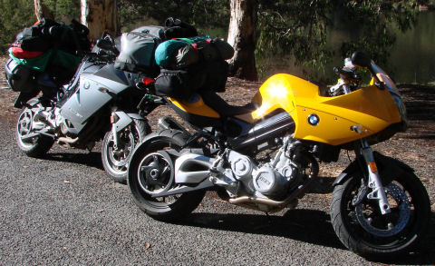
This year I seemed to have taken far too much camping gear but the bike handled beautifully. Part of the ride from home to Bendigo was in torrential rain mixed with fog. I was stuck behind a school bus for over 5 kms with no safe place to pass in the thick fog between Greendale and Trentham. Once I passed Kyneton the rain stopped, the roads dried and the rain stayed that way for the rest of the trip. In Bendigo there was no sign of rain at all.
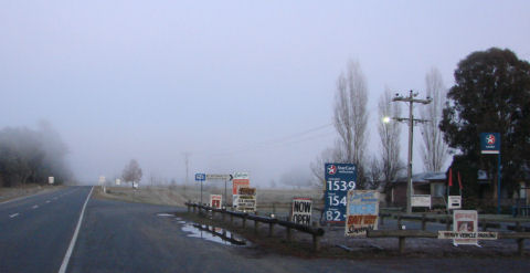
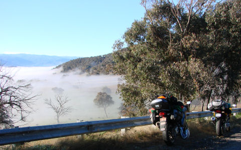
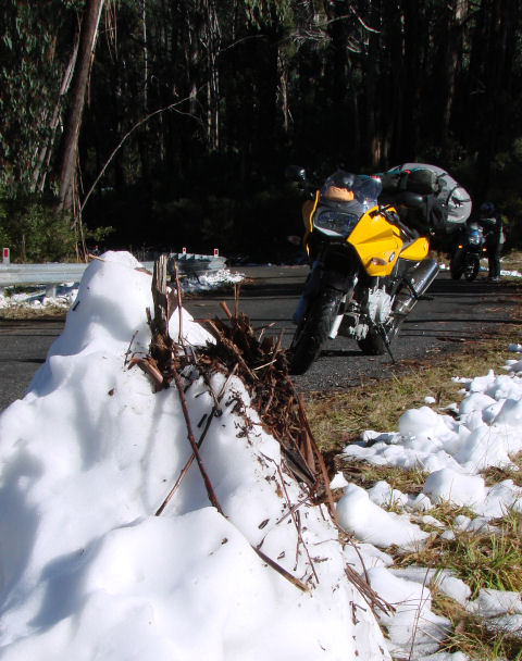
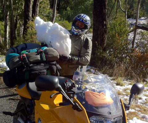
We stopped at the Mittamatite Caravan Park just on the outskirts of Corryong for the night in a cabin with heating. The following morning it had dropped to minus 2.5 degrees. We defrosted ourselves and the bikes and were underway by 8:30 for a quick ride to Khancoban for breakfast. On the way there we had to endure fog. At one point we were up above the fog and managed to take the photo below. Khancoban was warm and sunny and the toasted sandwich was washed down with the best on the road hot chocolate I have had.
We left Khancoban and came across our first road closed sign. The road to Cabramurra via Jagumba had been closed that week at the first sign of snow. That was okay as we had planned to travel along Elliot Way / Goat Ridge Road / Link Road and bypass Cabramurra and we knew these roads were still open.
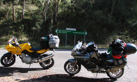
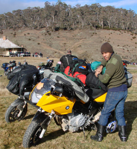
We stopped for a short break 22 kilometres from Cabramurra and 48 kms from Tumbarumba along Elliot Way just before Goat Ridge Road.
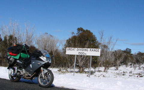
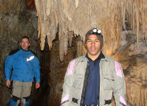
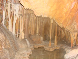
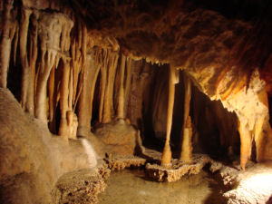
We stopped as we came to the highest point of the road we were on. The Great Dividing Range was 1500 metres above sea level. despite stopping to play in the snow we were making good time and arrived at the campsite just after mid-day. It was not long before we had unloaded the bikes and pitched the tents so we headed off to the Yarrangobilly Caves a few kilomtres along the Snowy Mountains Highway. The ride in was on a good quality dirt road. We took the guided tour of the Jillabenan caves but declined the offer to try out the thermal pools.
The Yarrangobilly Caves are limestone caves located in the northern part of the Kosciuszko National Park, just off the Snowy Mountains Highway between Tumut and Cooma.
The dirt road out from the caves was trickier covered in slush and melting snow.
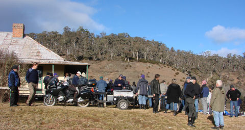
Before the medal presentation, on Sunday morning, many people had packed and were ready to go. We had packed most of our camping gear and just had to do the final tying off after the presentation. The temperature, this year, was 0.5 degrees in the morning at around 7am so most people had a good, warm night's sleep.
The trip home was uneventful except for what seemed to be heavier traffic than normal along the boring Hume Highway. First a dash to Tumut for breakfast for the people and petrol for the bikes. From Tumut it was non-stop to Wangaratta. The usual radar trap was seen in Tarcutta. I don't know what the local police will do now that the bypass is almost completed. Wangaratta was a stop for petrol and to say goodbye to Sim who was heading off to Bendigo. It was then non-stop to home for me. The closer to home the colder it became and the darker the clouds. Were the clouds ash from the volcano in Chile that had caused the grounding of all flights to and from Melbourne and the heavier traffic along the Hume Highway? |
Alpine Rally Home page - 1977 - 1978 Sticker - 1979 - 2008 - 2009 - 2010 - 2012 - 2013 -2014 - 2015
2013 brochure - 2014 brochure - 2015 Rally Brochure
Alpine Motorcycle Rally Site History
[ Home | PNG Index | PNG Links | PNG FAQ's | PNG Gossip | Michie.net | Family Index | Site Info ]